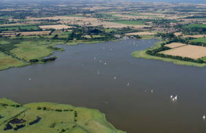
 The Broads
The Broads covers 303 square kilometres or 117 square miles in the Norfolk and Suffolk countryside. Whilst it is a National Park it is mentioned separately in the General Permitted Development Order as Article 2 (4) protected land and so we are including it here.
The Broads and indeed all National Parks are designated under the National Parks and Access to the Countryside Act 1949 with further protection provided by the Countryside and Rights of Way Act 2000.
You can use DEFRAs MAGiC mapping system to locate the Norfolk and Suffolk Broads.
Some changes of use are allowed in The Broads. You can see what is possible on our table of permitted development opportunities. This shows each permitted development class and whether you can use it in AONBs, SPAs, conservation areas etc.
The National Planning Policy Framework (NPPF) states that local authorities should conserve landscapes and scenic beauty in National Parks.
The Norfolk and Suffolk Broads has its own planning section and was formed in 1989 and was afforded the same status as a National Park.


